


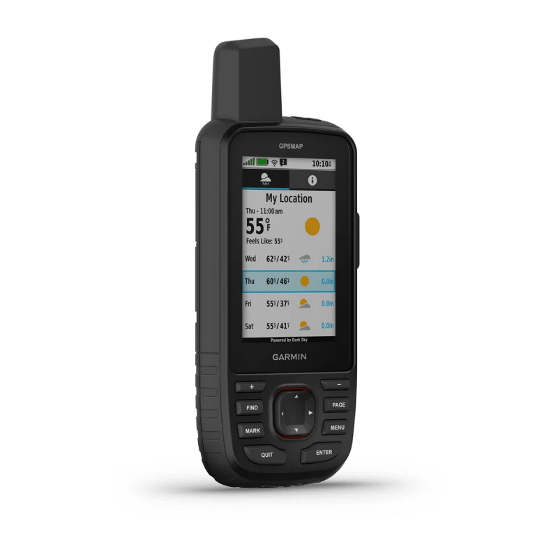
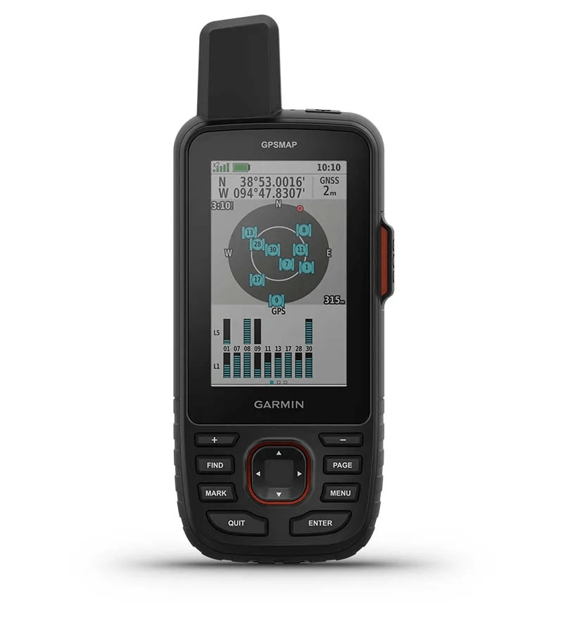
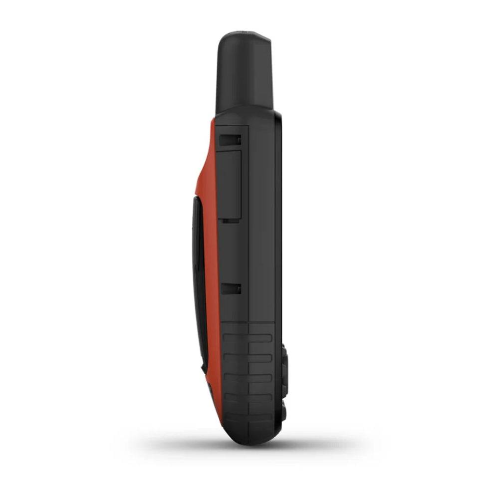
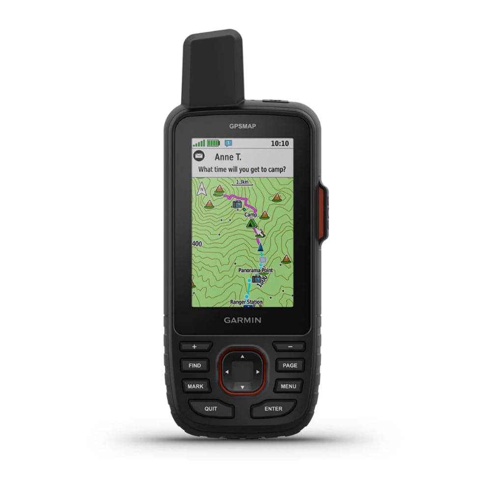
The Garmin GPSMAP 67i GPS Handheld & Satellite Communicator combines precision outdoor navigation with inReach satellite communication technology to keep you connected beyond cellular coverage. Built for off-road adventures, overlanding, remote trail exploration, and backcountry travel, the GPSMAP 67i features a rugged design, 3" sunlight-readable color display, multi-band GNSS positioning, and preloaded TopoActive maps. With an active inReach subscription, users can send and receive two-way satellite messages, share their location, and trigger an interactive SOS alert through the global Iridium satellite network.
Designed for extended trips in remote terrain, the GPSMAP 67i delivers up to 165 hours of battery life with inReach enabled in 10-minute tracking mode, up to 180 hours in GPS mode, and up to 425 hours in expedition mode with 30-minute tracking intervals. Multi-band satellite positioning improves navigation in challenging environments, while built-in navigation sensors, downloadable satellite imagery, and Garmin Explore compatibility provide the tools needed to plan and follow routes. Whether you're navigating a remote trail, exploring unfamiliar terrain, or keeping family informed of your location, the GPSMAP 67i combines reliable GPS navigation and satellite communication in one portable device.
Includes:
- (1) Garmin GPSMAP 67i GPS Handheld & Satellite Communicator
- (1) USB Type-A to USB Type-C Cable
- (1) Carabiner Clip
- Product Documentation
Important: An active Garmin inReach satellite subscription is required for two-way satellite messaging, location tracking through inReach, and interactive SOS functionality. Subscription fees are additional. Satellite communication devices may be regulated or prohibited in certain jurisdictions.
Specifications
| Manufacturer | Garmin |
|---|---|
| Model | GPSMAP 67i |
| Product Type | Handheld GPS & Satellite Communicator |
| Satellite Communication | Garmin inReach Technology |
| Satellite Network | 100% Global Iridium Satellite Network |
| Two-Way Messaging | Yes / Active inReach Subscription Required |
| Interactive SOS | Yes / Garmin Response Emergency Coordination Center |
| Emergency Response Support | 24/7 Staffed Coordination Center |
| Location Sharing | Yes / inReach Tracking with Active Subscription |
| Display Size | 3" Color Display |
| Display Type | Sunlight-Readable |
| Navigation Technology | Multi-Band GNSS |
| Satellite Positioning | Multi-GNSS Support |
| Navigation Sensors | Altimeter, Barometer & 3-Axis Electronic Compass |
| Preloaded Mapping | Garmin TopoActive Maps |
| Satellite Imagery | Supported / Downloadable |
| Premium Mapping | Outdoor Maps+ Subscription Compatible |
| Wireless Connectivity | Wi-Fi & Compatible Smartphone Connectivity |
| Trip Planning | Garmin Explore App & Website |
| Weather Forecasts | Supported with Compatible Smartphone & Services |
| Geocaching | Geocaching Live Compatible |
| Saved Waypoints | Up to 20,000 Points |
| Saved GPX Tracks | Up to 250 |
| Saved FIT Activities | Up to 300 |
| Battery Type | Internal Rechargeable Lithium-Ion |
| Battery Life - GPS Mode | Up to 180 Hours |
| Battery Life - inReach Tracking | Up to 165 Hours / 10-Minute Tracking Intervals |
| Battery Life - Expedition Mode | Up to 425 Hours / 30-Minute Tracking Intervals with inReach Enabled |
| Device Weight | 8.1 oz |
| Charging Connection | USB Type-C |
| Primary Application | Off-Road Navigation, Overlanding, Backcountry Exploration & Satellite Communication |
| Quantity | (1) GPSMAP 67i Handheld Device |
Key Features:
- Integrated inReach satellite technology for two-way messaging, location sharing, and interactive SOS.
- Global Iridium satellite network coverage with an active subscription.
- Multi-band GNSS positioning for improved accuracy in difficult terrain.
- Preloaded TopoActive maps and downloadable satellite imagery.
- 3" sunlight-readable color display for outdoor navigation.
- Built-in altimeter, barometer, and electronic compass.
- Garmin Explore compatibility for route planning and trip management.
- Long battery life with multiple navigation and tracking modes.
Fitment & Applications
The Garmin GPSMAP 67i is a universal handheld navigation and satellite communication device. It does not require vehicle-specific installation and can be carried between vehicles or used independently during outdoor activities.
Best Suited For:
- Off-Road Trail Navigation
- Rock Crawling & Trail Buggies
- Overlanding & Remote Expedition Travel
- Jeep, Truck & SUV Adventures
- Desert Exploration & Backcountry Routes
- Hiking, Backpacking & Camping
- Remote Race Support & Trail Recovery Teams
- Areas with Limited or No Cellular Coverage
Compatibility & Usage Notes:
- Portable handheld design requires no permanent vehicle installation.
- GPS navigation operates independently of an inReach satellite subscription.
- Two-way satellite messaging, inReach location tracking, and interactive SOS require an active subscription.
- Satellite communication requires a suitable view of the sky.
- Compatible smartphone required for certain connected features.
- Garmin Explore app and website support trip planning and route management.
- Outdoor Maps+ premium mapping requires a separate subscription.
- Check local regulations before using satellite communication features in restricted jurisdictions.
Builder Note: When exploring remote trails, reliable navigation and communication should be treated as separate priorities. The GPSMAP 67i combines both functions in one device, allowing you to navigate downloaded maps and communicate through the Iridium satellite network when cellular coverage is unavailable. Plan routes and download required mapping before heading into remote terrain.
FAQ
What is the Garmin GPSMAP 67i?
The Garmin GPSMAP 67i is a rugged handheld GPS navigation device with integrated inReach satellite communication technology. It combines multi-band GNSS positioning, TopoActive mapping, two-way satellite messaging, location sharing, and interactive SOS functionality in one portable unit.
Does the Garmin GPSMAP 67i work without cell service?
Yes. GPS navigation does not require cellular coverage, and inReach satellite communication operates through the Iridium satellite network when an active subscription is enabled. Satellite communication requires a suitable view of the sky.
Does the GPSMAP 67i require a subscription?
A subscription is not required for standard GPS navigation and compatible offline mapping. However, an active Garmin inReach subscription is required for satellite messaging, inReach location tracking, and interactive SOS alerts. Premium Outdoor Maps+ content also requires a separate subscription.
Can the Garmin GPSMAP 67i send an emergency SOS?
Yes. With an active inReach subscription, the GPSMAP 67i can trigger an interactive SOS alert to Garmin Response, a 24/7 staffed emergency response coordination center. The service allows two-way communication during an emergency when satellite connectivity is available.
Can I send text messages with the GPSMAP 67i?
Yes. The GPSMAP 67i supports two-way satellite messaging through Garmin inReach technology. With an active subscription, users can send and receive messages in remote areas without relying on cellular service.
What maps come with the Garmin GPSMAP 67i?
The GPSMAP 67i includes Garmin TopoActive mapping and supports downloadable satellite imagery. Additional premium mapping content is available through Garmin Outdoor Maps+ with a separate subscription.
What is multi-band GNSS and why does it matter?
Multi-band GNSS allows the device to receive positioning signals across multiple satellite frequency bands. This can improve positioning accuracy in challenging environments such as steep canyons, dense forests, and rugged terrain where conventional GPS reception may be less reliable.
How long does the Garmin GPSMAP 67i battery last?
Garmin specifies up to 180 hours in GPS mode, up to 165 hours with inReach enabled at 10-minute tracking intervals, and up to 425 hours in expedition mode with 30-minute tracking intervals. Actual battery life varies with settings, usage, and environmental conditions.
Can I use the GPSMAP 67i for off-road navigation?
Yes. The GPSMAP 67i is well suited for off-road trail navigation, overlanding, rock crawling, and remote travel. Its TopoActive mapping, waypoint storage, track recording, and multi-band GNSS support make it useful for following routes and navigating unfamiliar terrain.
Can my family track my location while I'm off-road?
Yes. With an active inReach subscription, the GPSMAP 67i supports satellite location tracking and sharing, allowing authorized contacts to follow your journey through supported Garmin services.
Does the GPSMAP 67i work with Garmin Explore?
Yes. The device works with the Garmin Explore app and website for planning trips, managing waypoints, and organizing navigation routes. Certain connected features require a compatible smartphone.
What comes in the Garmin GPSMAP 67i box?
The package includes the Garmin GPSMAP 67i handheld device, a USB Type-A to Type-C cable, a carabiner clip, and product documentation. Satellite subscriptions and premium mapping services are sold separately.